The Helmand Sistan Project
Gallery

The Land

The contours of the Sistan basin was created by the Helmand River and life in the basin revolves around it.
Over the millennia, the Helmand has carved a channel deep into the plain of Sistan, caused by subsidence, by wind action, and by tectonic activity. The deserts on both sides sit 200-300 m above the floodplain of the river.
The river turns west then north at Koh-I Khan Neshin (left distance), a volcanic blockade to its southward path and the chief landmark along its path.
The ultimate destination of the river is the hamun lakes, seasonally fluctuating with the amount of river water deposited, home to dense reed forests, a way station for migrating birds, and surrounded by human settlements.
Contrasting with the flat plain of the Helmand River are the mountains to the south and west, including the Chagai Hills here, beyond the pile of stones marking the border between Afghanistan and Pakistan. These hills are source of many stone, metal, and mineral resources used by the ancient and modern inhabitants of Sistan.
Koh-i Khan Neshin at the southwest boundary of the Sistan basin also served as source of numerous resources for inhabitants of the region. While we found no settlements on its slopes, there was ample evidence of human visits to its heights and extraction of its resources.
Travertine beds dot the base of Koh-I Khan Neshin, which were regularly exploited by ancient people for making stone vessels and jewelry. Modern carved stone imports to western nations from Afghanistan and Pakistan come from the same stone.

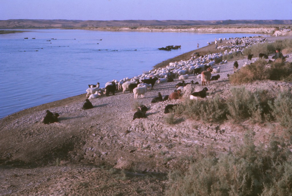
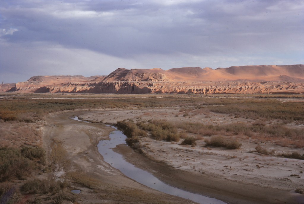
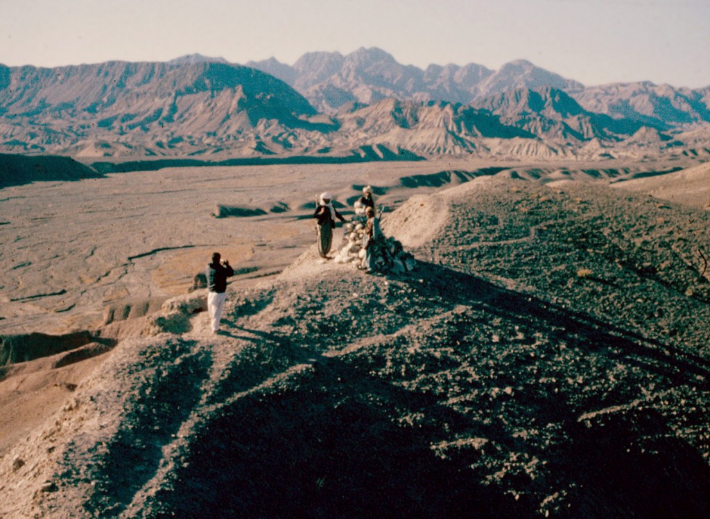
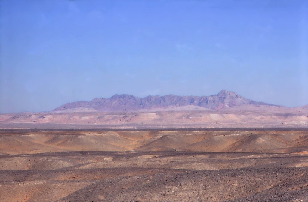
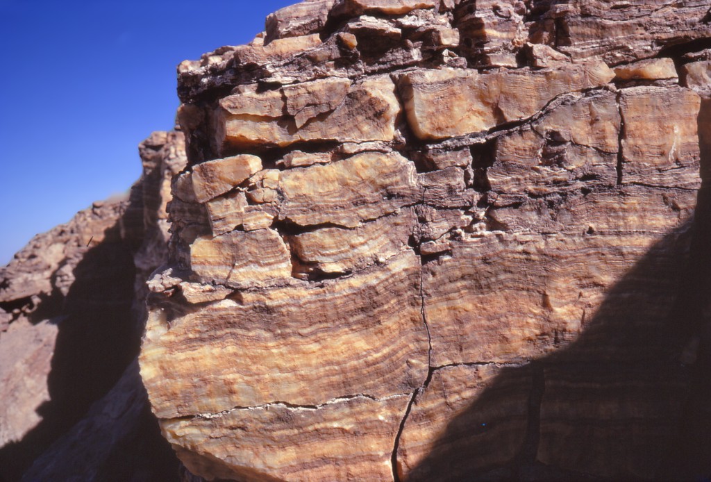
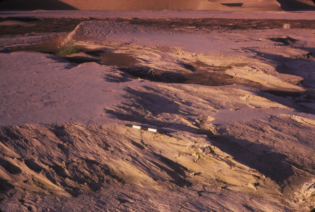
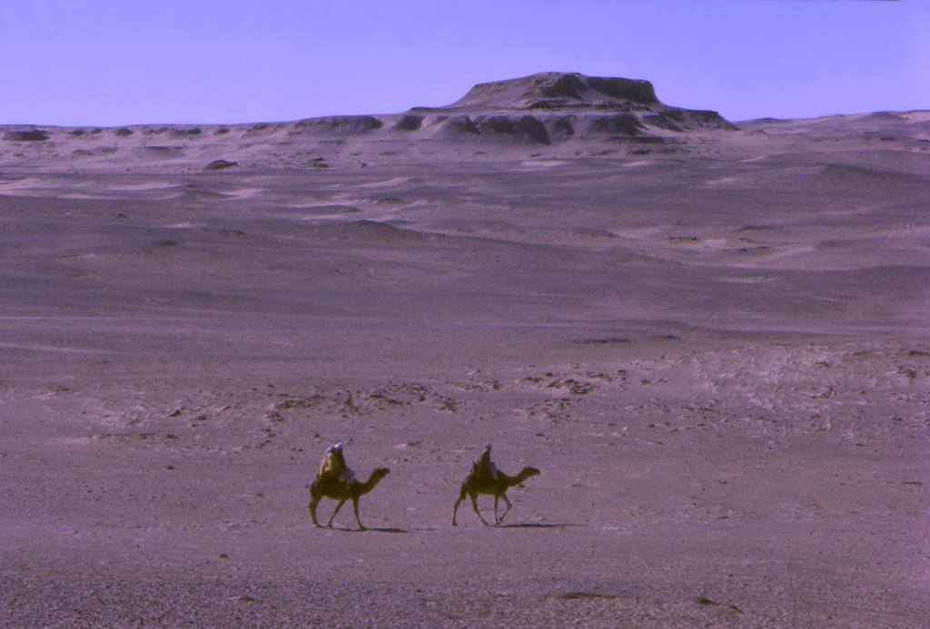
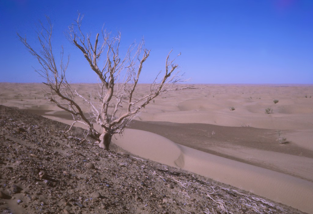
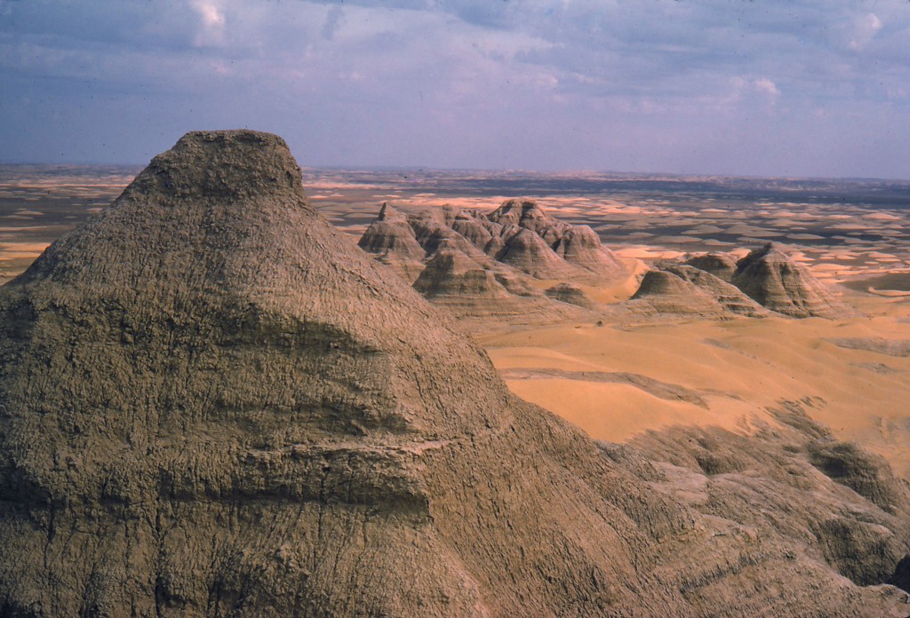
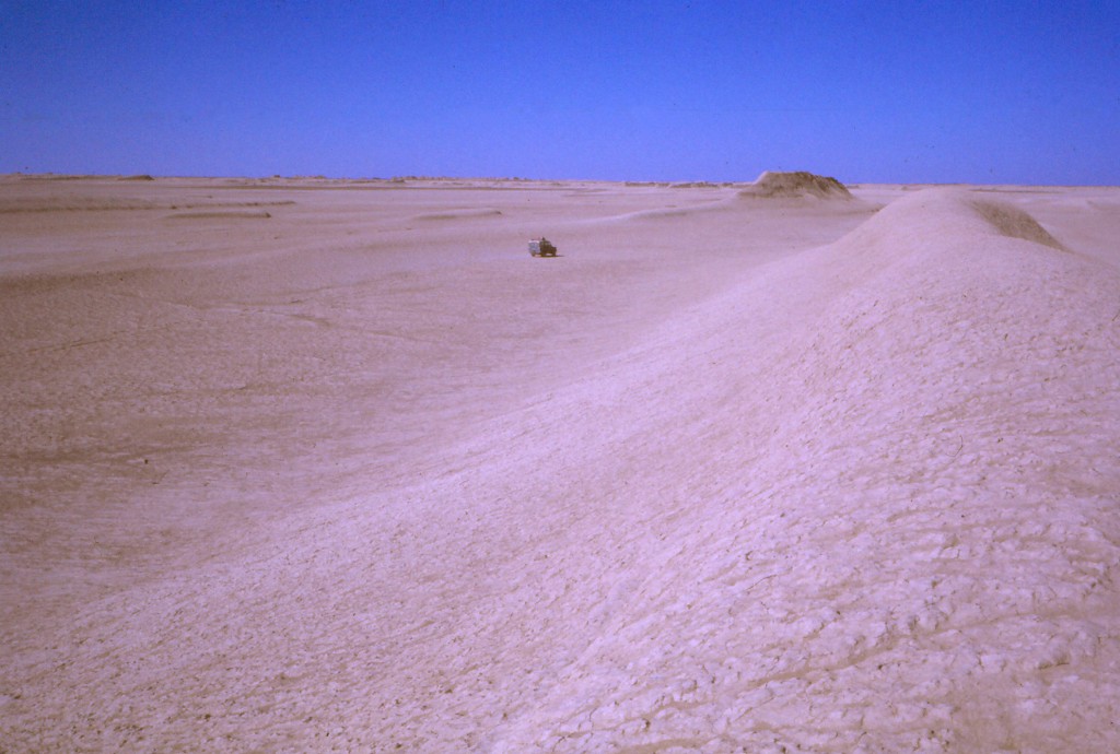
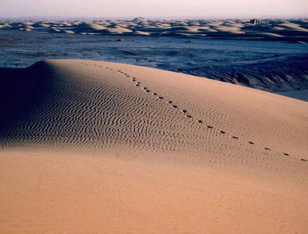
The steady winds from the northwest have had enormous impact on the landscape, sandblasting everything in its path, especially during the summer Wind of 120 Days.

Over the millennia, the Helmand has carved a channel deep into the plain of Sistan, caused by subsidence, by wind action, and by tectonic activity. The deserts on both sides sit 200-300 m above the floodplain of the river.


Wind-carved pillars of sediment, called yardangs, dot the Sistan landscape.
The Gaud-i Zirreh to the south features some of the competing natural processes, with a field of yardangs buried beneath alluvial soils caused by seasonal flooding of the river.
The deposition, movement, and redeposition of sand has occurred for millennia. Cross-bedded sand layers can be seen in some of the rock formations.
Sand dunes are a regular feature of this movement of soils, especially in Sar-o-Tar. Just south and east of Shahr-I Gholghola sit large dunes and a “wind scour” devoid of sand caused by the monumental structures of the archaeological site altering the path of the sand pushed by the northwest winds.
Outside the area watered by the Helmand River are a ring of deserts, most covered with dasht, stone pavements left after the winds scoured the soils around them.
Dry deserts surrounding the Helmand Valley seem unlikely to support much life, but small plants dot the areas between the dunes. Occasional tamarisk trees, relics of periods of occupation in the past, cover slopes and rise from the center of archaeological sites abandoned centuries earlier.
Goats, sheep, camels, and oxen are raised in the Helmand Valley and along its fringes.
Lizards and snakes of various sorts also call the desert home, including large desert monitors. Birds are regular visitors on their migration patterns to and from the Indian Ocean.