Jali Robat
Latitude: 29.843008 Longitude: 60.964681
Enlarged satellite view
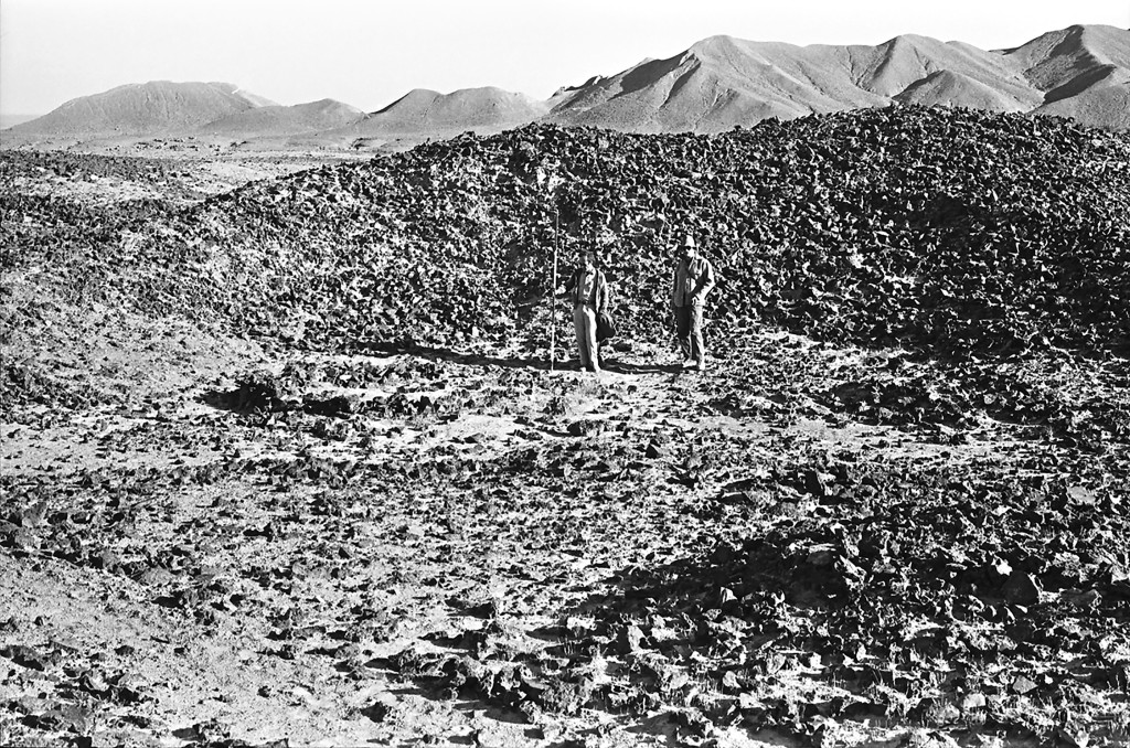
The modern village sits in the hills at the border between Afghanistan and Pakistan at the foot of Koh-i Malik Siah mountain. Next to the village is an extensive field of copper slag, byproducts from an ancient smelting facility 250 x 150 m in dimension. While our carbon-14 dates from the hearths show it was used at the beginning of the Islamic era, copper production likely occurred here at earlier times as well. Smelting took place in shallow pits on the surface of the site, with the slag piled up on all sides of each pit. The byproducts were placed in long rows as much as 4 m high and 100 m long. Artifacts and ceramics were few but ranged in date from the Bronze Age to the Timurid period. Recent satellite photographs show that much of this slag field was destroyed by modern construction after our visit in 1975.


