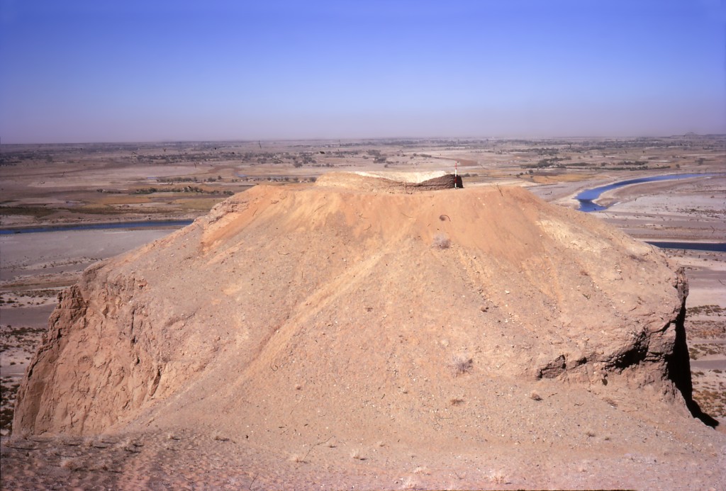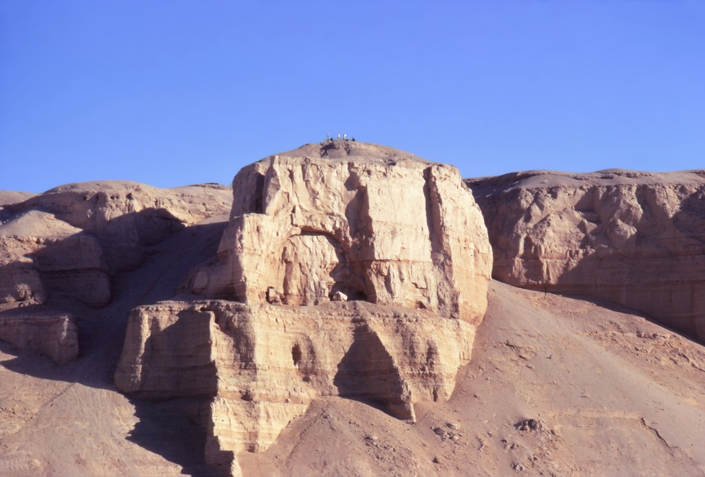


Khane Gauhar
Latitude: 31.42384519 Longitude: 64.38009767
Enlarged satellite view
Fragmentary remains of a Buddhist shrine overlook the Helmand Valley near the modern town of Darwishan. The shrine includes a mudbrick stupa 11 m in diameter and still standing over 2 m high, filled with sand and gravel, and surrounded by ambulatory walkways. At least six occupational caves were carved out of the cliff below. This is arguably the westernmost religious structure of the early expansion of Buddhism ever discovered. Almost no artifacts were found in or around the site, making dating it difficult, though evidence of Buddhist expansion in the nearby Kandahar area suggests it dates to the last couple of centuries BCE. Others posit a much later date, in the mid-late first millennium CE, corresponding to the numerous stupas built at that time in eastern Afghanistan and elsewhere.