

Qala-i Fath
Gazetteer ID: 842
Latitude: 30.54489823 Longitude: 61.84999528
Enlarged satellite view
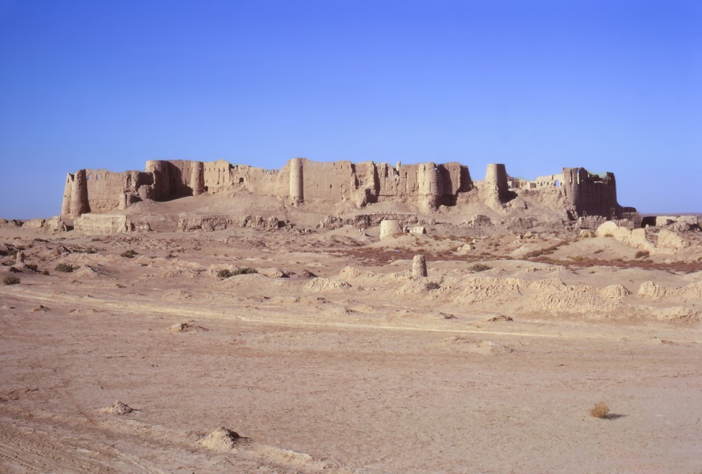
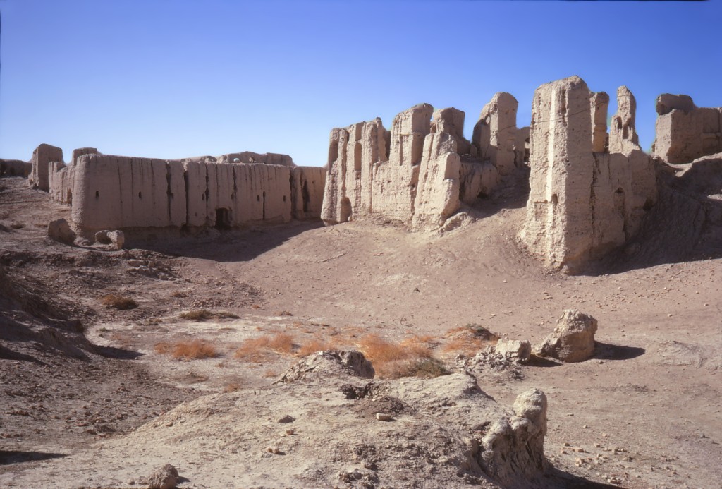
This prominent site along the Helmand River was built in the 15th century CE and abandoned in the 18th century according to historical records. It was visited by numerous previous researchers so was not systematically studied by HSP. The triangular city wall, constructed of mudbricks on a baked brick foundation, extends 3-5 km in circumference, much of which has been washed away by centuries of flooding in the river valley. The city wall is dotted with 94 towers. A second, badly eroded wall system surrounds the standing walls. Two large “palaces” are the main structures inside the walls. Around the Qala-i Fath region are numerous other structures noted by previous researchers and historical records; we visited only a large, decorated ice house in the plain. The nearby modern village had recently been inundated by sand dunes and was abandoned at the time of our visit. The importance of the site is due to its position controlling the canals leading away from the Helmand River. While our ceramic collection from the site is limited, some pieces significantly predate the standing walls, going back as early as Achaemenid times. Where the buildings from those earlier time periods were located is unknown.