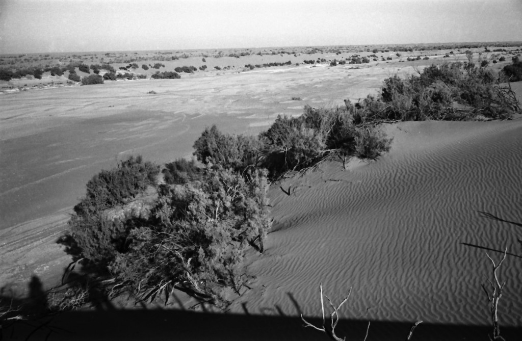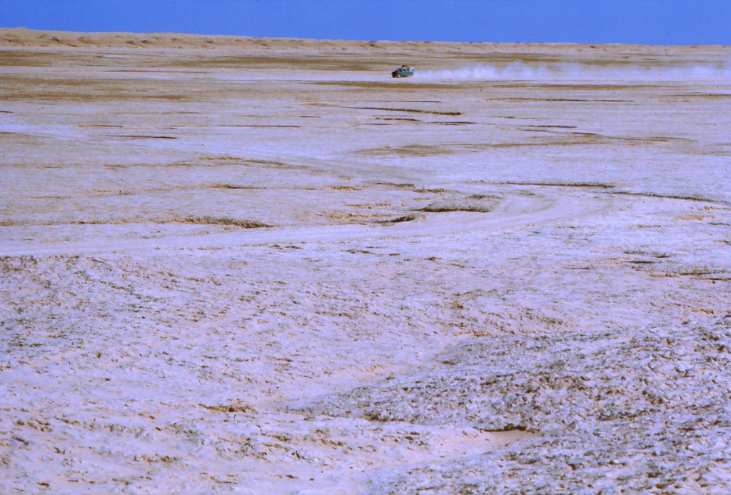


Shela Rud and Gaud-i Zirreh
The Shela Rud is a normally dry waterway flowing 70 km from the Hamun-i Helmand along the west edge of the Sistan Basin to the terminal basin of the Gaud-i Zirreh in the south. It has traditionally been considered an overflow system for years in which floods overfill the hamuns with water. The Gaud-i Zirreh, 100 km long and 10 km wide, is referred to as Zirreh Sea in several historical documents and is deeper than the hamuns in the north. During the several droughts of the past two decades, HSP geologists noticed that Zirreh contained a lake when the main hamuns to the north were dry or mostly dry. This suggests the Gaud-i Zirreh is fed by ground waters as well as from hamun overflows. Numerous ancient sites are scattered along the course of the Shela Rud but almost none bordering the Gaud-i Zirreh except at its western edge in an area known as Gardan Reg which contains Bronze Age sites. We suggest the poor water quality is the main reason for so few sites along the shores of Zirreh.