

Dam
Gazetteer ID: 229
Latitude: 29.83003745 Longitude: 61.41899904
Enlarged satellite view
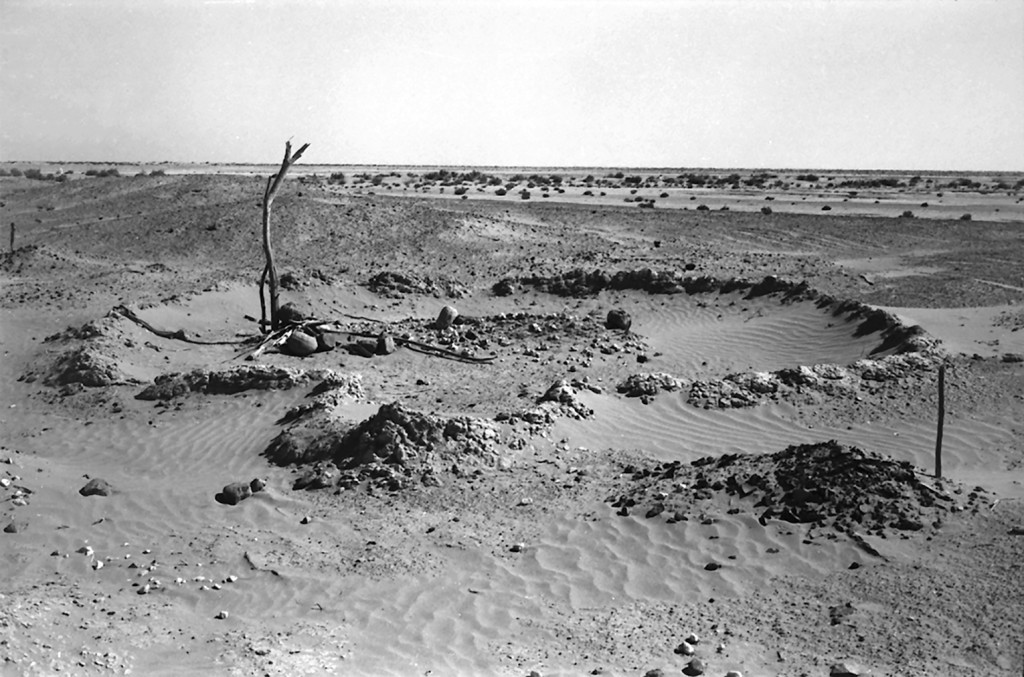
This is a Bronze Age site located on elevated ground next to the channel of the Shela Rud, the dry river bed linking the Hamun Lakes with the Gaud-i Zirreh, but which may have had flowing water in the Bronze Age. The few contours on the mound suggest standing structures on the site in ancient times. The site is covered with the remains of copper smelting activities and ceramics. A recent cemetery and shrine to a holy man at one end is covered with ancient debris. Discovered by American archaeologist George Dales in 1971 and simply labeled Dam, (“ruin”), our guide told us the hill was called Khaima Barang and named after a famous bandit in the region. Evidence from the Bronze Age occupation includes painted pottery of various sorts, bone and bronze sealings, basket-impressed pottery, and worked pieces of travertine, all similar to objects found at the well-known Bronze Age site of Shahr-i Sokhta across the border in Iran.