

Lat Qala
Gazetteer ID: 687
Latitude: 30.1710431 Longitude: 62.68818771
Enlarged satellite view
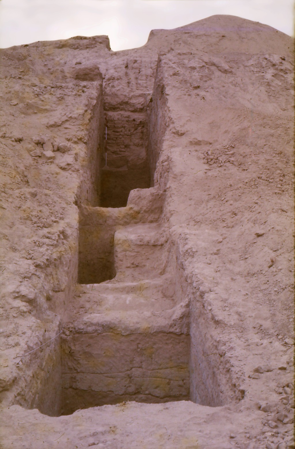
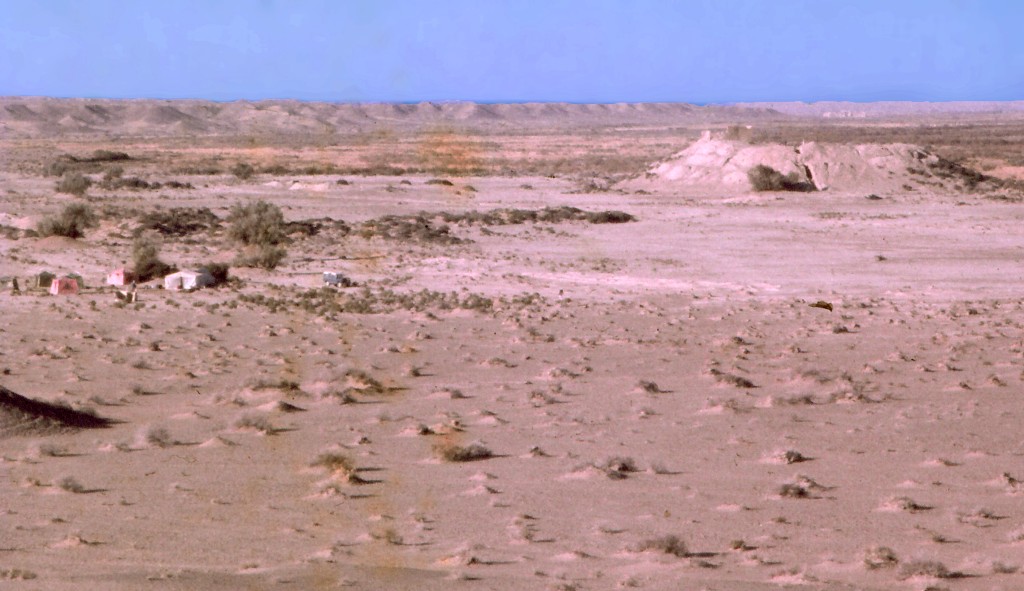
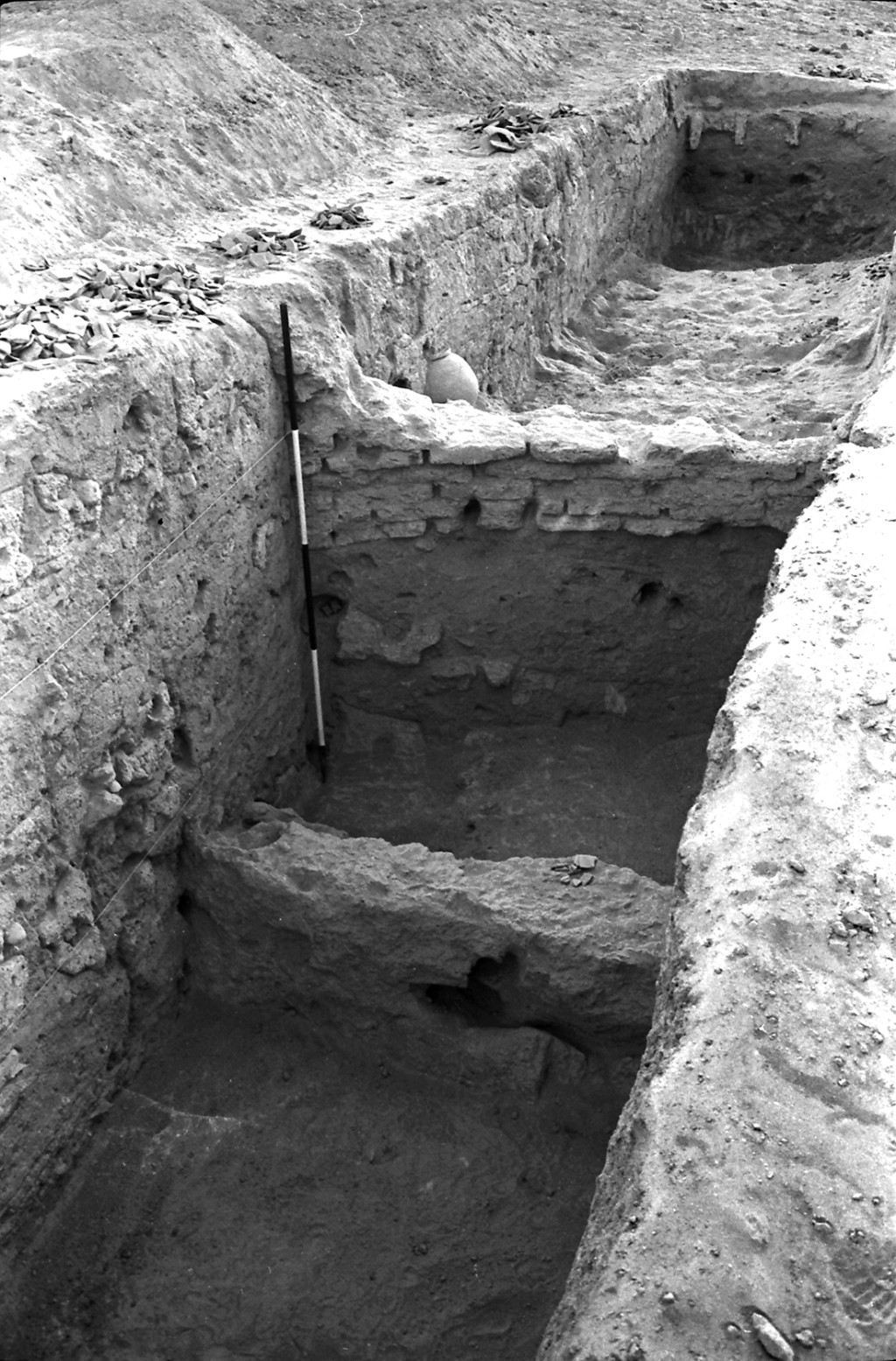
This is a prominent mound 14 m high and 75 m in diameter at the southern edge of the Helmand River Valley in the Rudbar area. It contains the clearest stratigraphic sequence we were able to establish during our project based on extensive excavations there in 1975. A recent mudbrick fort sits on the crest of the mound. We sank a vertical trench into the south side of this mound that showed an occupational sequence from the Achaemenid to the Sasanian periods, over 1000 years, including successive defensive walls around the site. Digging below the modern ground surface at the base of the mound, we found that human-fashioned objects could still be found 4 m below the surface, evidence of alluviation in the river valley. Ceramics evidence suggests that the oldest defensive walls date to the Bronze and Early Iron ages, though we could not excavate deeply enough to reach those occupation levels. A second excavation trench was badly compromised by a deep erosion channel and produced little usable information, though it demonstrated that the massive defensive walls surround the entire mound.