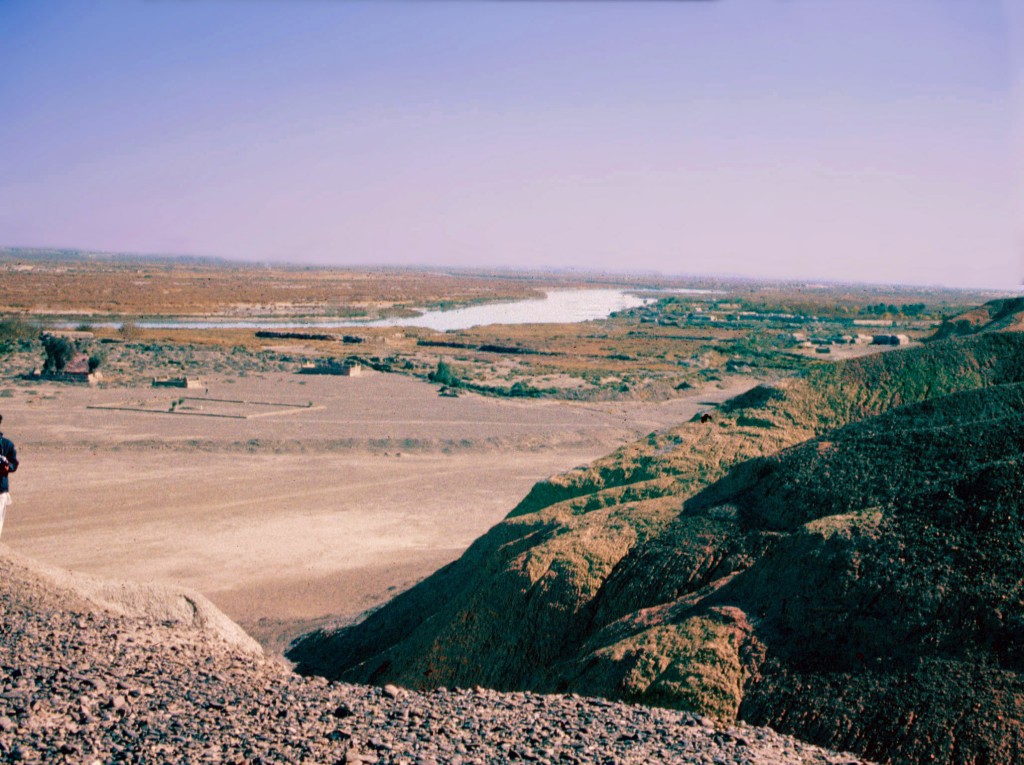


Helmand River and Helmand Valley
The Helmand River is the longest river in Afghanistan, beginning in the snows of the Koh-i Baba Mountains to the east and flowing 1300 km to the southwest to empty in the hamuns at the border between Afghanistan and Iran. It drains 40% of the country. Its most significant tributary is the Arghandab River, which joins the Helmand just south of Lashkar Gah at the eastern edge of our survey region. In southwest Afghanistan, the river follows nearly a 180 degree loop south, incising a path south through the Helmand Basin, turning west at the Koh-i Khan Neshin, then northward where its waters flow into Hamun-i Puzak in the Sistan Basin. A major fault, identified by HSP, is the reason for the northward flow of the river to its final destination.
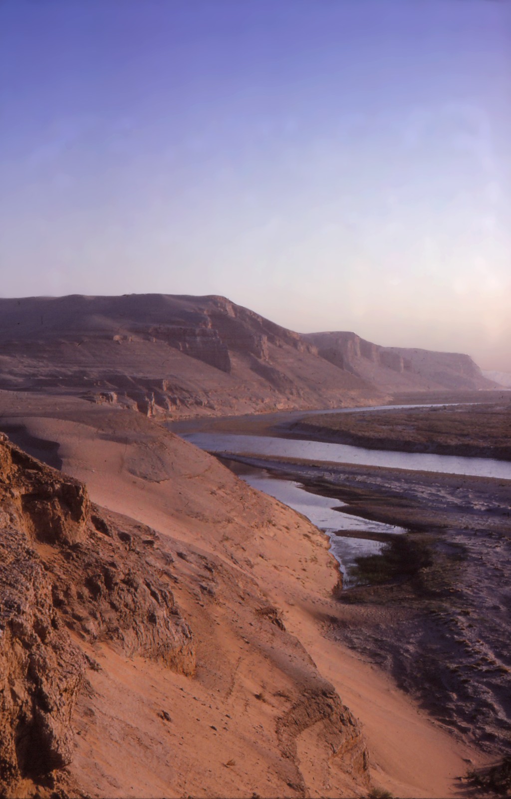
The Helmand has several distributary channels that have carried its waters at different times in the past. The shallow slope of the riverbed, tectonic activity, and spring floods have caused the river to jump its banks and shift its course several times in the late Holocene, including in 1896, which prompted the British-led Afghan Boundary Commission to study the behavior of the Helmand in Sistan in order to better define the boundary between Afghanistan and Iran. The commission surveyors also did the first serious archaeological work in Sistan. The dense population settlement in Iranian Sistan in the Bronze Age, followed by a 1200-year-long gap in occupation, has been attributed to a change in the river’s course, from the westward-flowing Rud-i Biyaban to one of the northern distributaries. The limited availability of water to service both Afghan and Iranian Sistan has led to numerous conflicts over the centuries.
The river discharges its water into the hamuns along the Afghan-Iranian border and, in peak inundation years, overflows from the hamuns through the Shela Rud and into the Gaud-i Zirreh. To control the flow of water, irrigation canals have been used in various parts of Sistan, some of which were documented by our survey, including the major canals leading into the Sar-o-Tar Plain at various periods of time.