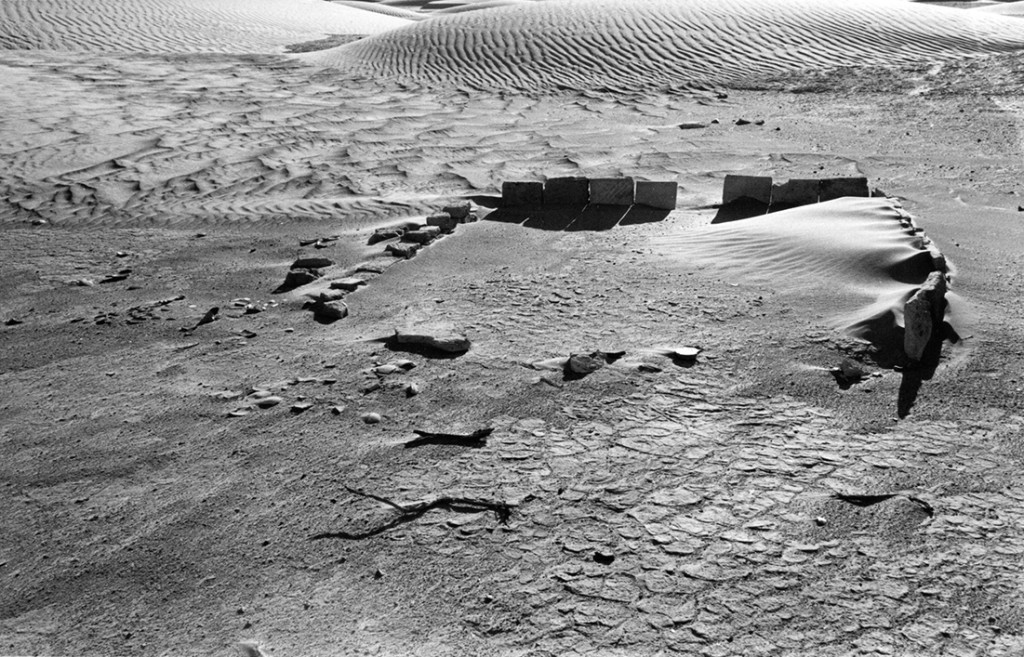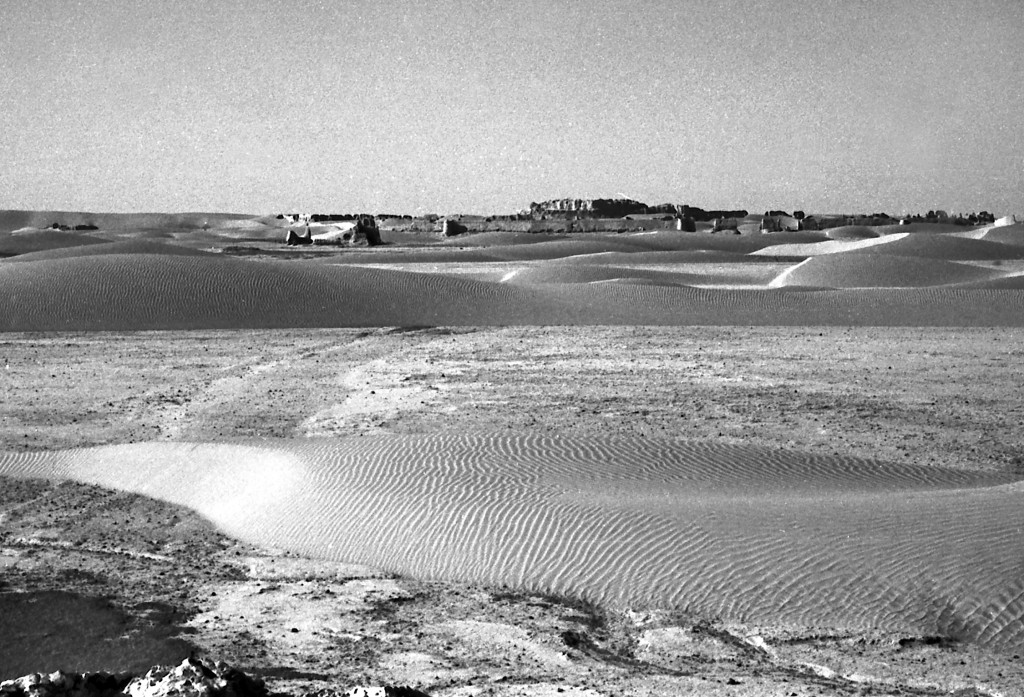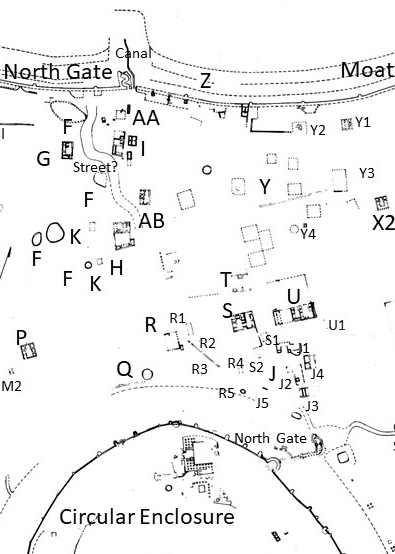


Shahr-i Gholghola: Outer Enclosure
Latitude: 30.57893266 Longitude: 62.09031513
The Outer Wall, likely built in Saffarid times and abandoned after the Ghaznavid period, created an Outer Enclosure with different uses. Areas of this enclosure by the north gate were heavily occupied, areas toward the southeast show evidence of glass, ceramic, metal, and other industries. Parts of the Outer Enclosure were likely used for agricultural purposes, particularly in the Timurid period where we found a group of large domestic estates similar to those in other rural parts of Sar-o-Tar. Canals were dug through the abandoned Outer Wall to water the fields. Areas where there had been buildings in earlier periods were leveled to low mounds and Timurid mausoleums placed upon them. We also uncovered the most recent occupation of Shahr-i Gholghola, the camp of the French archaeologists at the site in 1936.