

Sna Qala
Gazetteer ID: 1107
Latitude: 30.55628608 Longitude: 63.54418529
Enlarged satellite view
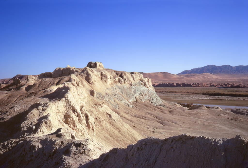
Located atop an outcropping of green volcanic stone on the north bank of the Helmand River, the site features a Sasanian fire temple on its summit across the river from the largest natural feature in the lower Helmand Valley, the volcanic mountain of Koh-i Khan Neshin. Leading to the summit of the hill are three intermediate plazas, each surrounded by an enclosure wall and separated from each other by narrow gates. A steep ramp and entry gate hugs the north side of the mound. To the west is a large enclosure surrounded by a high wall possibly used for agriculture, herding, and/or manufacturing. The square domed chartaq on the summit was modified and reused in Ghaznavid times as a mausoleum. Both Ghaznavid glazed and molded pottery and fine red Partho-Sasanian ceramics, some with ring burnished, combed, incised, or jabbed decoration, appear on the mound. The design of this temple with multiple walled-off levels leading to the temple on the summit and built on a volcanic outcropping is reminiscent of the contemporary fire temple in Iranian Sistan, Kuh-i Khwaja.
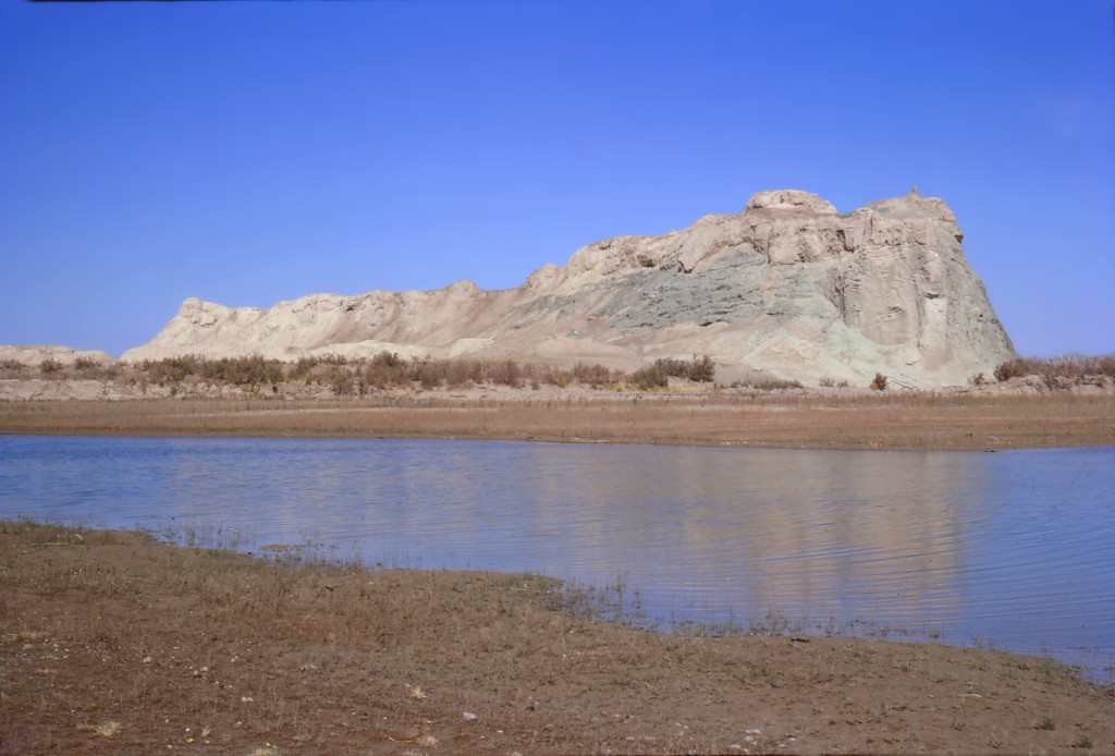
The green volcanic pillow of Ŝna Qala overlooking the Helmand River with a Zoroastrian fire temple on its summit, reused as a mausoleum in Ghaznavid times.