

Sar-o-Tar
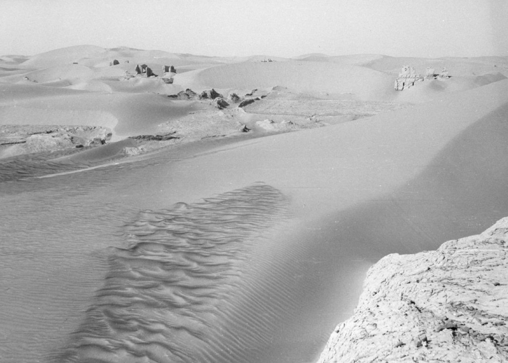
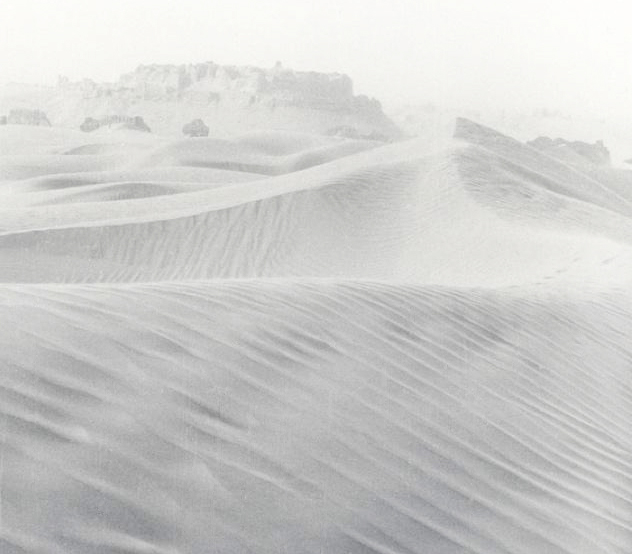
This flat plain, now abandoned and filled with sand dunes, is 40 x 80 km in size and sits to the east of the lower Helmand River, separated by a low bluff along the east bank of the river. At Qala-i Fath this bluff ends and three large canals leading from the river into Sar-o-Tar begin. This irrigation system resulted in dense occupation and extensive agriculture in Sar-o-Tar during various points in human history, beginning about 1000 BCE and ending in the 15th century CE. The majority of the time we spent surveying and excavating in Sistan took place here, where the 15th century landscape lay untouched in the succeeding centuries and where ruins were often buried and preserved by the growing sea of sand dunes. We recorded over 100 archaeological sites spanning 2500 years in this basin, including the massive fortress city of Shahr-i Gholghola. At times, when the canal system fell into disuse either due to natural or human causes, the basin was left empty of occupants. It is unclear whether episodes of intensive dune movement caused historical abandonment or the converse, although we did see evidence of dune movement between periods of historical occupation. Intensive winds, including the Wind of 120 Days, have sandblasted the landscape, including many of the archaeological sites and artifacts. In some places, small standing pillars of soil with ancient ceramics on top suggest the surface wind erosion has been over 1 m during the past 1000 years.