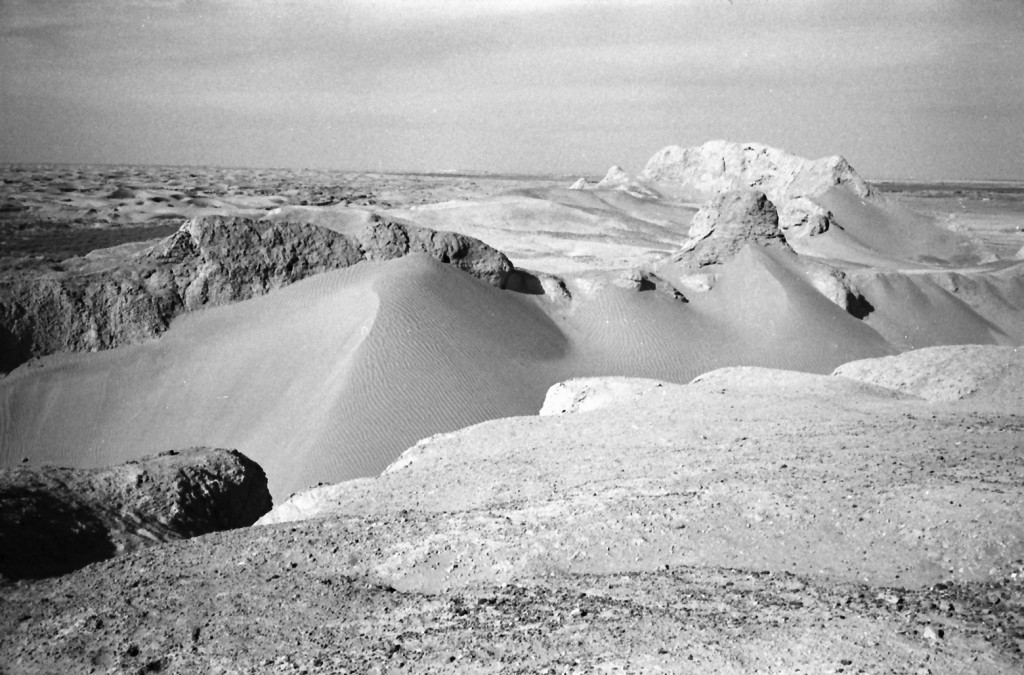
Dam-i Malik Khan
Gazetteer ID: 2043
Latitude: 30.580072 Longitude: 61.859583
Enlarged satellite view
This badly eroded but very large, walled fortress, 320 x 100 m in size, is located just north of Qala-i Fath on the right bank of the Helmand River. It was placed overlooking the gap in the plateau east of the Helmand River and likely was built to guard the canals that led from the river into the Sar-o-Tar Basin to the east. A large trench had been dug through the middle of this fortress after its abandonment, presumably to create a path for a later canal, and is now filled with sand. Upon the southern edge of the large fortress are remains of a smaller, later fortress on a mudbrick foundation with rounded and squared towers along its walls. A large Islamic cemetery, possibly related to nearby Qala-i Fath, is located south of the fortress. Remains of many generations of canals run along the edge of the site before turning to the east and Sar-o-Tar. The original fortress likely dates to Parthian times based upon the ceramics found there.


