

Malakhan Plain Sites
Gazetteer ID: 700
Latitude: 30.49465094 Longitude: 63.35719796
Enlarged satellite view
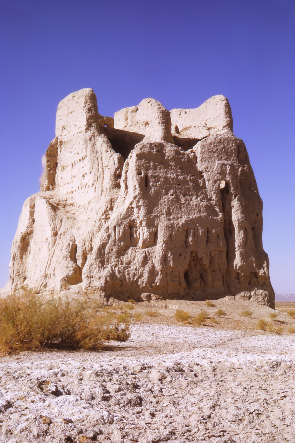
The Malakhan Plain is on the inside of the curve of the Helmand River where it shifts from flowing south to west, covering an extent of about 10 km in length and 5 km in width. One of the broader areas of the river valley, it features both ancient and modern irrigation canals from the river. In our 1971 and 1972 surveys, we identified 18 sites on the plain including the massive Qala-i Sirak. The other sites were covered by annual flooding and shredded by strong winds and were, therefore, badly eroded. Though there were several high-standing towers of more recent origin, most of the sites were square qalas dating to the Parthian and Sasanian periods along the path of a major canal.